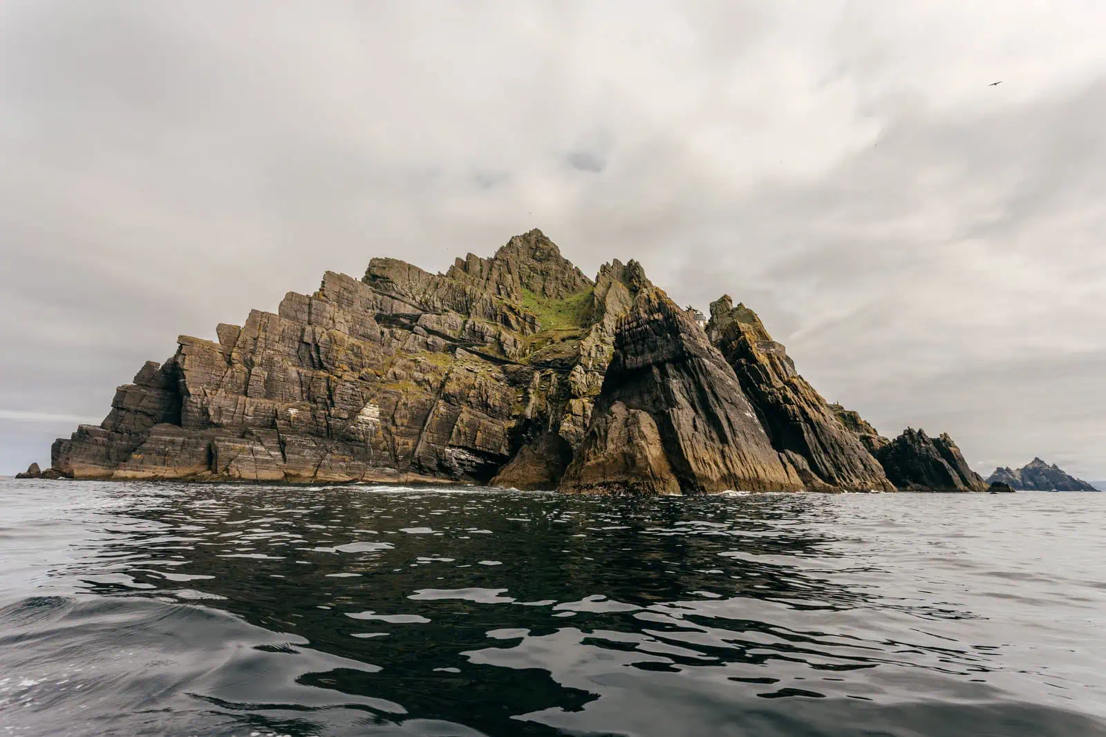
The Skellig Islands are made mostly of Devonian Old Red Sandstone, laid down roughly 360 to 385 million years ago. If you are visiting on a boat trip, you can see how this geology directly affects what you can see from the water: steep, tilted rock layers, sea caves at the base of the cliffs, and large fallen blocks where the Atlantic has eroded into weaker zones over time.

Devonian Old Red Sandstone
During the Devonian Period, Ireland was located south of the equator. This region had a warmer, drier climate than today, and the Skellig area was part of a large sedimentary basin fed by rivers coming off nearby high ground.
The Old Red Sandstone formed like this:
- Ancient mountains broke down into sand and silt
- Rivers carried the sediment into low-lying basins
- Layers built up over millions of years
- Pressure cemented the layers into stone
The islands get their distinctive red and purple colours from iron-rich minerals that settled in the sediment millions of years ago.
Tectonic folding (Variscan Orogeny)
Later, during the Variscan Orogeny, a massive mountain-building event about 290 to 270 million years ago, caused by colliding tectonic plates, tectonic compression folded and tilted the sandstone beds on both Skellig Michael and Little Skellig.
What to look for on the Skellig boat tour:
From the water, you can clearly see diagonal rock layers that look like the island has been tipped on its side. Stacked ledges wrap around the cliffs, with sharp ridges and narrow steps where the stone has broken away. Along the waterline, you'll see deep caves and dark cracks where the Atlantic waves have hit for centuries, along with the fresh-looking scars of recent rock falls.
Part of Ireland's highest mountain range
The Skelligs are part of the same broader geological system as the MacGillycuddy’s Reeks, including Carrauntoohil, Ireland’s highest peak.
These mountains and islands were shaped during the same Variscan mountain-building period and are composed largely of the same Devonian Old Red Sandstone. The Skelligs can be thought of as the offshore continuation of this ancient mountain landscape, with the peaks that remain rising above the Atlantic today.
Atlantic erosion and the modern landscape
The sandstone gives the Skelligs their structure, but the Atlantic shapes the islands and keeps changing the cliffs. The jagged look of the islands, the sharp edges and deep caves, comes from the ocean constantly hammering away at the sandstone. Over time, salt and storms open up cracks and pull blocks of stone away, which is why you can see piles of broken rock at the base of Little Skellig. It’s an ongoing process; the islands you see today are slowly being reshaped by every winter storm.
Why seabirds love this geology
The steep faces and narrow ledges are the reason the birds are here. On Little Skellig, almost every flat surface of the rock is covered with gannets, as they use the natural steps as nesting platforms.
If you want a closer look at how the cliffs are used, see our guide to the Northern gannet colony of Little Skellig.
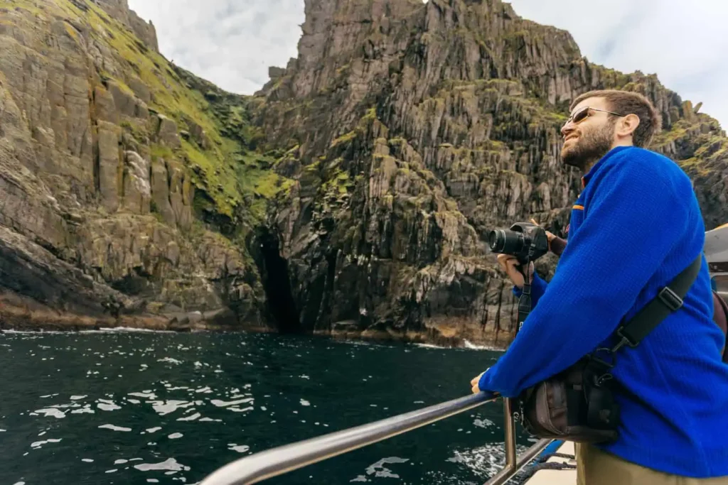
Seeing the islands from the water
Little Skellig is a protected nature reserve and landing is not permitted, so you view it from the sea. Skellig Michael can be seen clearly from the boat on both landing tours and eco tours. If you are comparing options, the Eco Tour typically gives you more time close to the cliffs and rock faces.